
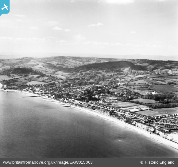
EAW015003 ENGLAND (1948). The town, Dawlish, from the east, 1948. This image has been produced from a print.
© Copyright OpenStreetMap contributors and licensed by the OpenStreetMap Foundation. 2026. Cartography is licensed as CC BY-SA.
Nearby Images (2)
EAW015003

EPW039685

Details
| Title | [EAW015003] The town, Dawlish, from the east, 1948. This image has been produced from a print. |
| Reference | EAW015003 |
| Date | 27-April-1948 |
| Link | |
| Place name | DAWLISH |
| Parish | DAWLISH |
| District | |
| Country | ENGLAND |
| Easting / Northing | 296970, 77011 |
| Longitude / Latitude | -3.4554680028735, 50.583145686714 |
| National Grid Reference | SX970770 |
Pins
Be the first to add a comment to this image!