
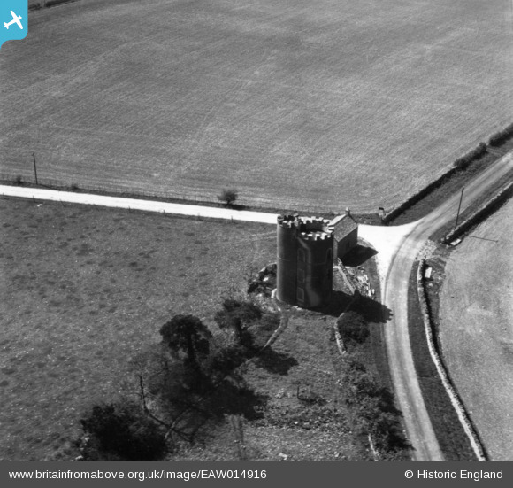
EAW014916 ENGLAND (1948). Guy's Tower, Icomb, 1948. This image has been produced from a print.
© Copyright OpenStreetMap contributors and licensed by the OpenStreetMap Foundation. 2025. Cartography is licensed as CC BY-SA.
Nearby Images (2)
EAW014916

EAW014917

Details
| Title | [EAW014916] Guy's Tower, Icomb, 1948. This image has been produced from a print. |
| Reference | EAW014916 |
| Date | 26-April-1948 |
| Link | |
| Place name | ICOMB |
| Parish | ICOMB |
| District | |
| Country | ENGLAND |
| Easting / Northing | 420170, 222867 |
| Longitude / Latitude | -1.7067943904435, 51.903541693759 |
| National Grid Reference | SP202229 |
Pins
Be the first to add a comment to this image!