
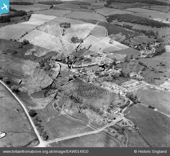
EAW014910 ENGLAND (1948). The village, Swinbrook, 1948. This image has been produced from a damaged negative.
© Copyright OpenStreetMap contributors and licensed by the OpenStreetMap Foundation. 2026. Cartography is licensed as CC BY-SA.
Nearby Images (2)
EAW014910

EAW014912

Details
| Title | [EAW014910] The village, Swinbrook, 1948. This image has been produced from a damaged negative. |
| Reference | EAW014910 |
| Date | 26-April-1948 |
| Link | |
| Place name | SWINBROOK |
| Parish | SWINBROOK AND WIDFORD |
| District | |
| Country | ENGLAND |
| Easting / Northing | 428017, 212090 |
| Longitude / Latitude | -1.5936013272693, 51.806298323687 |
| National Grid Reference | SP280121 |
Pins
Be the first to add a comment to this image!