
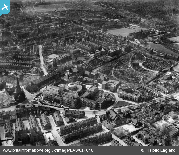
EAW014648 ENGLAND (1948). Leeds University, Leeds General Cemetery and the surrounding city, Leeds, 1948
© Copyright OpenStreetMap contributors and licensed by the OpenStreetMap Foundation. 2026. Cartography is licensed as CC BY-SA.
Nearby Images (26)
EAW014648

EAW014653

EAW052815

EAW014649

EAW014642

EAW052807

EAW014654

EAW052814

EAW014645

EAW052811

EAW052813

EAW014647

EAW052812

EAW014644

EAW052806

EAW014641

EAW052808

EAW052810

EPW057197

EAW014652

EAW014655

EAW014650

EAW014643

EAW052809

EAW014651

EAW014646

Details
| Title | [EAW014648] Leeds University, Leeds General Cemetery and the surrounding city, Leeds, 1948 |
| Reference | EAW014648 |
| Date | 21-April-1948 |
| Link | |
| Place name | LEEDS |
| Parish | |
| District | |
| Country | ENGLAND |
| Easting / Northing | 429424, 434721 |
| Longitude / Latitude | -1.5531300836892, 53.807734679774 |
| National Grid Reference | SE294347 |
Pins

John N |
Sunday 25th of October 2020 01:24:48 AM |