
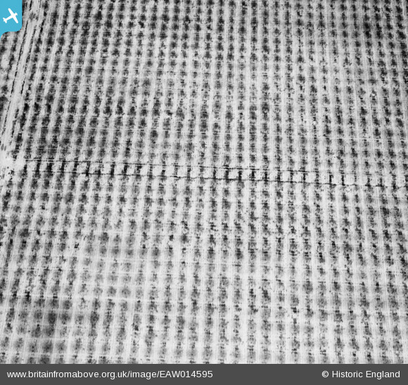
EAW014595 ENGLAND (1948) [Unlocated]. Fruit orchard, unlocated
© Copyright OpenStreetMap contributors and licensed by the OpenStreetMap Foundation. 2026. Cartography is licensed as CC BY-SA.
Nearby Images (48)
EPW000143

EPW000667

EPW005260

EPW006389
, 1921")
EPW007181

EPW015853

EPW015854

EPW015855

EPW016012

EPW016510

EPW016641

EPW017028

EPW017029

EPW017136

SAW003585

SAW003586

SAW009337

SAW009800

SAW009801

SAW009802

SAW010734

SAW014737

SAW017926

SAW017927

SAW032504

SPW020275

SPW020280

SPW020281

SPW020284

SPW020632

SPW020633

SPW027083

SPW049776

SPW049777

SPW049779

SPW049783

SPW049791

SPW049798

SPW049801

SPW049827

SPW049828

SPW049831

SPW049832

SPW049834

SPW049948

SPW049949

SPW051009

SPW062638

Details
| Title | [EAW014595] Fruit orchard, unlocated |
| Reference | EAW014595 |
| Date | 16-April-1948 |
| Link | |
| Place name | |
| Parish | |
| District | |
| Country | ENGLAND |
| Easting / Northing | 0, 0 |
| Longitude / Latitude | -7.556448482059, 49.766185796754 |
| National Grid Reference | SV000000 |
Pins
Be the first to add a comment to this image!
User Comment Contributions
I don't think that there is much chance of successfully locating this photo which has few distinguishing features |

Class31 |
Tuesday 4th of February 2014 01:28:56 PM |
EAW014596 is of a Pylon adjacent to the site of Crossness Pumping Station and the pier at Horse Shoe Corner, Erith Marshes also taken on 16th April 1948. |
Class31 |
Tuesday 4th of February 2014 01:26:30 PM |
EAW014594 is of Rye in Sussex taken on 16th April 1948. |
Class31 |
Tuesday 4th of February 2014 01:24:25 PM |