
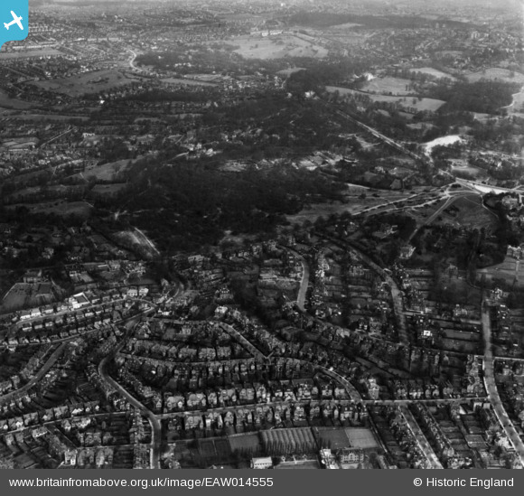
EAW014555 ENGLAND (1948). Residential area at West Heath, Hampstead, from the south-west, 1948. This image has been produced from a print.
© Copyright OpenStreetMap contributors and licensed by the OpenStreetMap Foundation. 2026. Cartography is licensed as CC BY-SA.
Nearby Images (2)
EAW014555

EAW000616

Details
| Title | [EAW014555] Residential area at West Heath, Hampstead, from the south-west, 1948. This image has been produced from a print. |
| Reference | EAW014555 |
| Date | 15-April-1948 |
| Link | |
| Place name | HAMPSTEAD |
| Parish | |
| District | |
| Country | ENGLAND |
| Easting / Northing | 525486, 186084 |
| Longitude / Latitude | -0.18958882597918, 51.559183335725 |
| National Grid Reference | TQ255861 |
Pins
Be the first to add a comment to this image!