
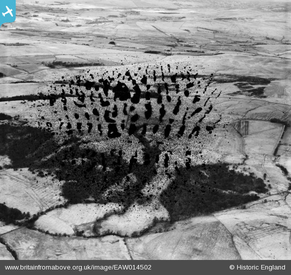
EAW014502 ENGLAND (1948). Gillalees Scroggs and environs, Low Park, from the south, 1948. This image was produced from a damaged negative.
© Copyright OpenStreetMap contributors and licensed by the OpenStreetMap Foundation. 2026. Cartography is licensed as CC BY-SA.
Nearby Images (2)
EAW014502

EAW014503

Details
| Title | [EAW014502] Gillalees Scroggs and environs, Low Park, from the south, 1948. This image was produced from a damaged negative. |
| Reference | EAW014502 |
| Date | 14-April-1948 |
| Link | |
| Place name | LOW PARK |
| Parish | ASKERTON |
| District | |
| Country | ENGLAND |
| Easting / Northing | 356367, 570823 |
| Longitude / Latitude | -2.6826810863812, 55.029948663923 |
| National Grid Reference | NY564708 |
Pins
Be the first to add a comment to this image!