
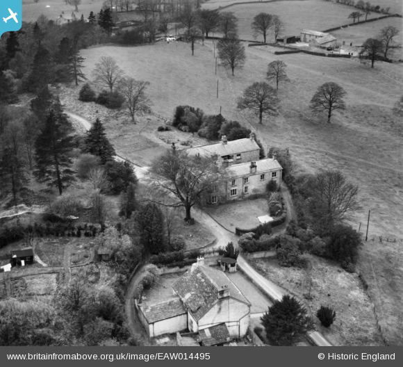
EAW014495 ENGLAND (1948). Swanscoe Hall, Higher Hurdsfield, 1948
© Copyright OpenStreetMap contributors and licensed by the OpenStreetMap Foundation. 2024. Cartography is licensed as CC BY-SA.
Nearby Images (2)
EAW014495

EAW014496

Details
| Title | [EAW014495] Swanscoe Hall, Higher Hurdsfield, 1948 |
| Reference | EAW014495 |
| Date | 14-April-1948 |
| Link | |
| Place name | HIGHER HURDSFIELD |
| Parish | HIGHER HURDSFIELD |
| District | |
| Country | ENGLAND |
| Easting / Northing | 393698, 375287 |
| Longitude / Latitude | -2.0945140589667, 53.274253681377 |
| National Grid Reference | SJ937753 |
Pins
Be the first to add a comment to this image!