
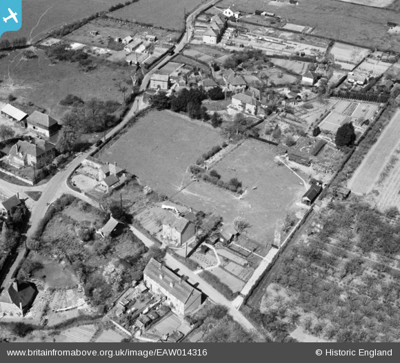
EAW014316 ENGLAND (1948). Trottiscliffe (Trosley) House and the village, Trottiscliffe, 1948
© Copyright OpenStreetMap contributors and licensed by the OpenStreetMap Foundation. 2026. Cartography is licensed as CC BY-SA.
Nearby Images (13)
EAW014316
 House and the village, Trottiscliffe, 1948")
EAW014557

EAW014315
 House and the village, Trottiscliffe, 1948")
EAW014556

EAW014318
 House and environs, Trottiscliffe, 1948")
EAW014319
 House, Trottiscliffe, 1948. This image was marked by Aerofilms Ltd for photo editing.")
EAW014314
 House and the village, Trottiscliffe, 1948")
EAW014317
 House, Trottiscliffe, 1948")
EAW014320
 House and environs, Trottiscliffe, 1948. This image was marked by Aerofilms Ltd for photo editing.")
EAW014321
 House and the village, Trottiscliffe, 1948")
EAW014322

EAW014324

EAW014323

Details
| Title | [EAW014316] Trottiscliffe (Trosley) House and the village, Trottiscliffe, 1948 |
| Reference | EAW014316 |
| Date | 13-April-1948 |
| Link | |
| Place name | TROTTISCLIFFE |
| Parish | TROTTISCLIFFE |
| District | |
| Country | ENGLAND |
| Easting / Northing | 564024, 160243 |
| Longitude / Latitude | 0.35398657309704, 51.317112718749 |
| National Grid Reference | TQ640602 |
Pins
Be the first to add a comment to this image!