
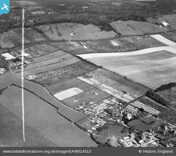
EAW014313 ENGLAND (1948). The village and environs, Trottiscliffe, 1948. This image was marked by Aerofilms Ltd for photo editing.
© Copyright OpenStreetMap contributors and licensed by the OpenStreetMap Foundation. 2026. Cartography is licensed as CC BY-SA.
Nearby Images (5)
EAW014313

EAW014312

EAW014323

EAW014324

EAW014322

Details
| Title | [EAW014313] The village and environs, Trottiscliffe, 1948. This image was marked by Aerofilms Ltd for photo editing. |
| Reference | EAW014313 |
| Date | 13-April-1948 |
| Link | |
| Place name | TROTTISCLIFFE |
| Parish | TROTTISCLIFFE |
| District | |
| Country | ENGLAND |
| Easting / Northing | 563987, 160620 |
| Longitude / Latitude | 0.35362949108826, 51.320510803218 |
| National Grid Reference | TQ640606 |
Pins
Be the first to add a comment to this image!