
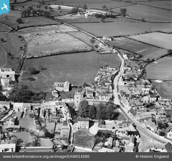
EAW014280 ENGLAND (1948). St Michael's Church and the village, Lavendon, 1948
© Copyright OpenStreetMap contributors and licensed by the OpenStreetMap Foundation. 2025. Cartography is licensed as CC BY-SA.
Nearby Images (6)
EAW014280

EAW014282

EAW014285

EAW014284

EAW014283

EAW014281

Details
| Title | [EAW014280] St Michael's Church and the village, Lavendon, 1948 |
| Reference | EAW014280 |
| Date | 12-April-1948 |
| Link | |
| Place name | LAVENDON |
| Parish | LAVENDON |
| District | |
| Country | ENGLAND |
| Easting / Northing | 491624, 253745 |
| Longitude / Latitude | -0.65999835986578, 52.173941813476 |
| National Grid Reference | SP916537 |
Pins
Be the first to add a comment to this image!