
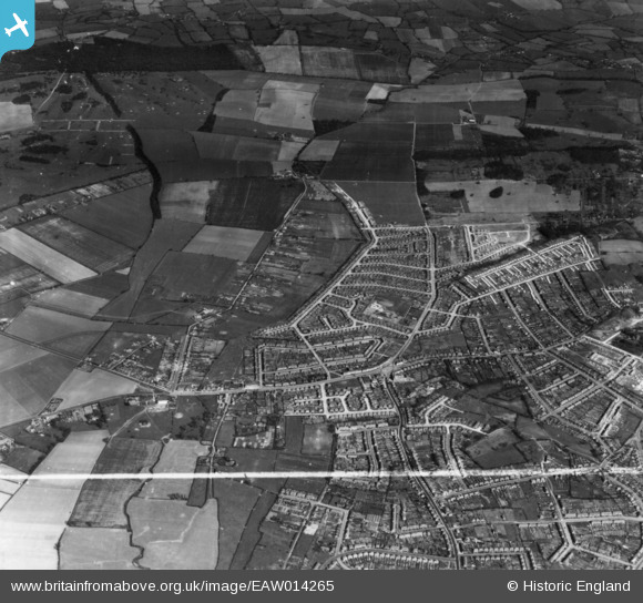
EAW014265 ENGLAND (1948). The development of Havering Park, Collier Row, 1948. This image has been produced from a print marked by Aerofilms Ltd for photo-editing.
© Copyright OpenStreetMap contributors and licensed by the OpenStreetMap Foundation. 2026. Cartography is licensed as CC BY-SA.
Nearby Images (3)
EAW014265

EAW014271

EAW014264

Details
| Title | [EAW014265] The development of Havering Park, Collier Row, 1948. This image has been produced from a print marked by Aerofilms Ltd for photo-editing. |
| Reference | EAW014265 |
| Date | 12-April-1948 |
| Link | |
| Place name | COLLIER ROW |
| Parish | |
| District | |
| Country | ENGLAND |
| Easting / Northing | 549650, 191718 |
| Longitude / Latitude | 0.16118622715998, 51.603916634385 |
| National Grid Reference | TQ497917 |
Pins
Be the first to add a comment to this image!