
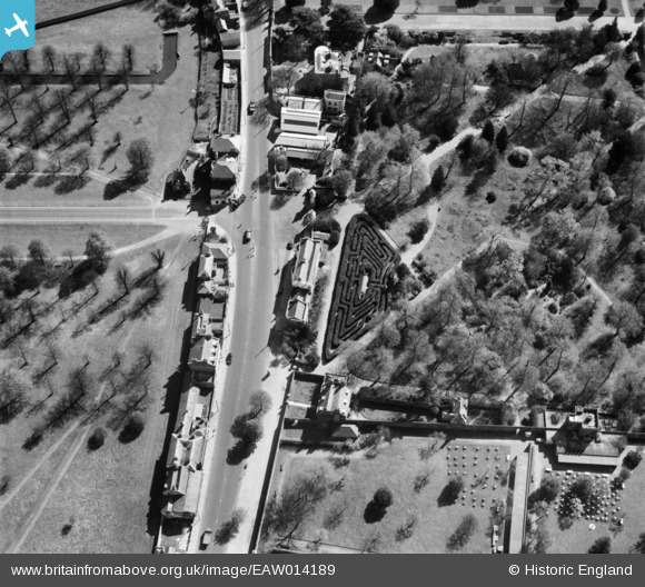
EAW014189 ENGLAND (1948). Hampton Court Maze and Hampton Court Road, Hampton Court Park, 1948
© Copyright OpenStreetMap contributors and licensed by the OpenStreetMap Foundation. 2026. Cartography is licensed as CC BY-SA.
Nearby Images (5)
EAW014189

EAW014188

EAW014187

EAW002299

EAW023682

Details
| Title | [EAW014189] Hampton Court Maze and Hampton Court Road, Hampton Court Park, 1948 |
| Reference | EAW014189 |
| Date | 7-April-1948 |
| Link | |
| Place name | HAMPTON COURT PARK |
| Parish | |
| District | |
| Country | ENGLAND |
| Easting / Northing | 515726, 168793 |
| Longitude / Latitude | -0.33599908381904, 51.405846708117 |
| National Grid Reference | TQ157688 |
Pins

Pip |
Saturday 4th of January 2014 12:03:30 AM | |
|
Pip |
Friday 3rd of January 2014 11:55:42 PM | |
|
Pip |
Thursday 2nd of January 2014 07:54:37 PM | |
|
Pip |
Thursday 2nd of January 2014 07:54:10 PM | |
|
Pip |
Thursday 2nd of January 2014 07:53:45 PM | |
|
Pip |
Thursday 2nd of January 2014 07:52:46 PM |
User Comment Contributions
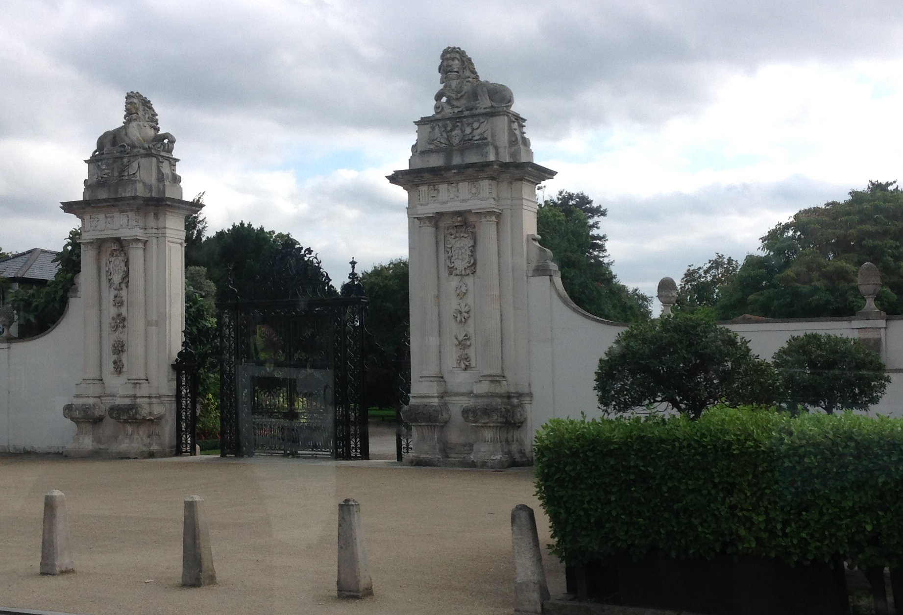
The Lion Gate, 07/09/2015 |

Class31 |
Wednesday 9th of September 2015 01:03:46 PM |