
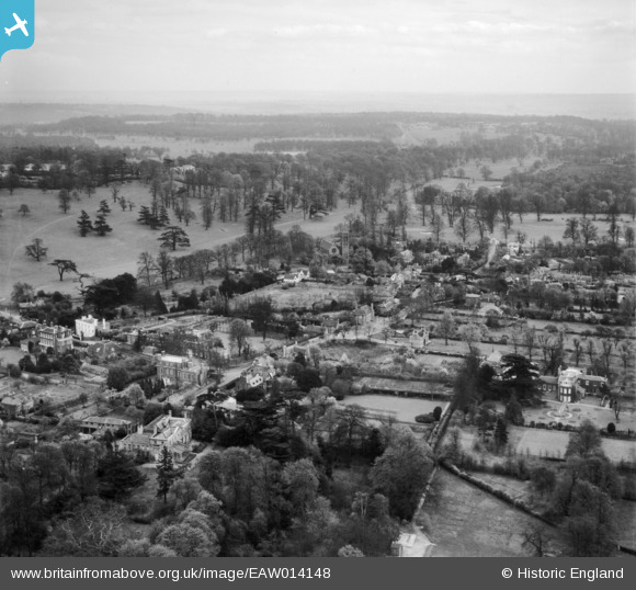
EAW014148 ENGLAND (1948). The village, Petersham, from the north-west, 1948
© Copyright OpenStreetMap contributors and licensed by the OpenStreetMap Foundation. 2026. Cartography is licensed as CC BY-SA.
Nearby Images (5)
EAW014148

EPW057917

EPW057914

EPW057915

EPW057916

Details
| Title | [EAW014148] The village, Petersham, from the north-west, 1948 |
| Reference | EAW014148 |
| Date | 7-April-1948 |
| Link | |
| Place name | PETERSHAM |
| Parish | |
| District | |
| Country | ENGLAND |
| Easting / Northing | 517963, 173263 |
| Longitude / Latitude | -0.3023601514, 51.445565111306 |
| National Grid Reference | TQ180733 |
