
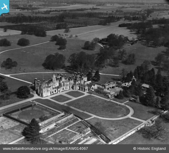
EAW014067 ENGLAND (1948). Flixton Hall and Park, Flixton, 1948. This image has been produced from a print.
© Copyright OpenStreetMap contributors and licensed by the OpenStreetMap Foundation. 2026. Cartography is licensed as CC BY-SA.
Nearby Images (2)
EAW014067

EAW014068

Details
| Title | [EAW014067] Flixton Hall and Park, Flixton, 1948. This image has been produced from a print. |
| Reference | EAW014067 |
| Date | 25-March-1948 |
| Link | |
| Place name | FLIXTON |
| Parish | FLIXTON |
| District | |
| Country | ENGLAND |
| Easting / Northing | 630434, 285981 |
| Longitude / Latitude | 1.3894718674441, 52.422800312687 |
| National Grid Reference | TM304860 |
Pins

Matt Aldred edob.mattaldred.com |
Sunday 16th of May 2021 10:14:50 PM | |
|
Matt Aldred edob.mattaldred.com |
Saturday 14th of November 2020 08:52:14 PM |