
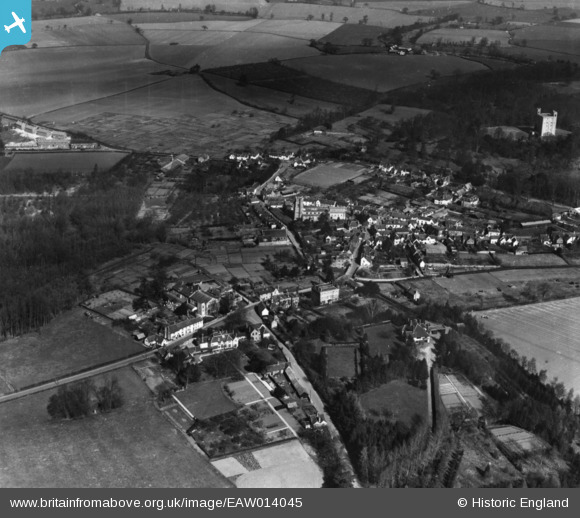
EAW014045 ENGLAND (1948). The village, Castle Hedingham, 1948. This image has been produced from a print.
© Copyright OpenStreetMap contributors and licensed by the OpenStreetMap Foundation. 2026. Cartography is licensed as CC BY-SA.
Nearby Images (4)
EAW014045

EAW014044

EAW014047

EAW014046

Details
| Title | [EAW014045] The village, Castle Hedingham, 1948. This image has been produced from a print. |
| Reference | EAW014045 |
| Date | 25-March-1948 |
| Link | |
| Place name | CASTLE HEDINGHAM |
| Parish | CASTLE HEDINGHAM |
| District | |
| Country | ENGLAND |
| Easting / Northing | 578445, 235539 |
| Longitude / Latitude | 0.59916117839866, 51.989167771234 |
| National Grid Reference | TL784355 |
Pins

Bex |
Friday 14th of March 2025 08:35:02 PM |