
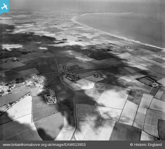
EAW013953 ENGLAND (1948). Countryside between Lissett and Bridlington Bay, Lissett, from the south, 1948
© Copyright OpenStreetMap contributors and licensed by the OpenStreetMap Foundation. 2026. Cartography is licensed as CC BY-SA.
Nearby Images (2)
EAW013953

EAW013954

Details
| Title | [EAW013953] Countryside between Lissett and Bridlington Bay, Lissett, from the south, 1948 |
| Reference | EAW013953 |
| Date | 23-March-1948 |
| Link | |
| Place name | LISSETT |
| Parish | ULROME |
| District | |
| Country | ENGLAND |
| Easting / Northing | 514903, 457635 |
| Longitude / Latitude | -0.24675447888242, 54.001751187819 |
| National Grid Reference | TA149576 |
Pins

redmist |
Thursday 3rd of December 2020 11:21:55 PM | |
|
redmist |
Tuesday 28th of April 2020 01:41:19 PM | |
|
redmist |
Saturday 3rd of November 2018 11:28:49 PM | |
|
redmist |
Saturday 3rd of November 2018 11:13:23 PM | |
|
Wobblybob |
Tuesday 16th of August 2016 04:07:34 PM | |
|
Wobblybob |
Tuesday 16th of August 2016 04:01:40 PM | |
|
Graham Yaxley |
Monday 9th of February 2015 07:36:57 PM |

