
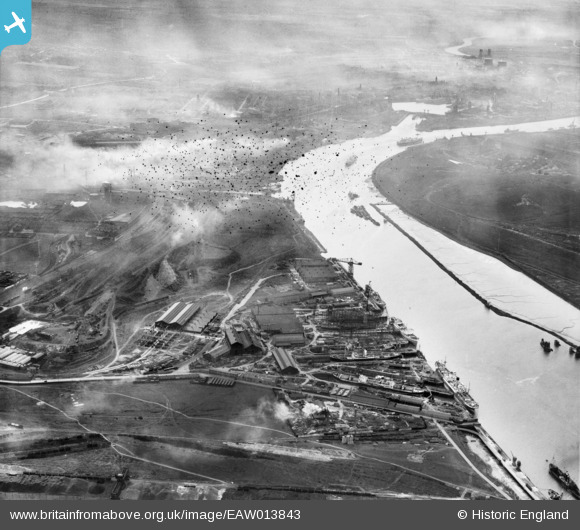
EAW013843 ENGLAND (1948). Smith's Dock Co Ltd Shipbuilding Yard at South Bank and the River Tees, Dormanstown, 1948. This image has been produced from a damaged negative.
© Copyright OpenStreetMap contributors and licensed by the OpenStreetMap Foundation. 2026. Cartography is licensed as CC BY-SA.
Nearby Images (2)
EAW013843

EAW013848

Details
| Title | [EAW013843] Smith's Dock Co Ltd Shipbuilding Yard at South Bank and the River Tees, Dormanstown, 1948. This image has been produced from a damaged negative. |
| Reference | EAW013843 |
| Date | 16-March-1948 |
| Link | |
| Place name | DORMANSTOWN |
| Parish | |
| District | |
| Country | ENGLAND |
| Easting / Northing | 452503, 521461 |
| Longitude / Latitude | -1.1875032326509, 54.585495155059 |
| National Grid Reference | NZ525215 |
Pins

redmist |
Sunday 14th of November 2021 08:46:46 PM | |
|
redmist |
Sunday 14th of November 2021 08:46:06 PM | |
|
redmist |
Sunday 14th of November 2021 08:45:36 PM | |

Class31 |
Tuesday 21st of January 2014 09:01:49 AM | |
|
Class31 |
Tuesday 21st of January 2014 08:21:45 AM |
User Comment Contributions
South batnk and cargo fleet Middlesbrough, not dormanstown which is 3-4 miles away near redcar |
RMPOWLS |
Tuesday 1st of July 2014 07:01:25 AM |
Please see the discussion which I had with the BfA staff on this subject on EAW013844 I raised exactly the same point. |
Class31 |
Tuesday 1st of July 2014 07:01:25 AM |
View looking west. |
Class31 |
Tuesday 21st of January 2014 09:00:14 AM |