
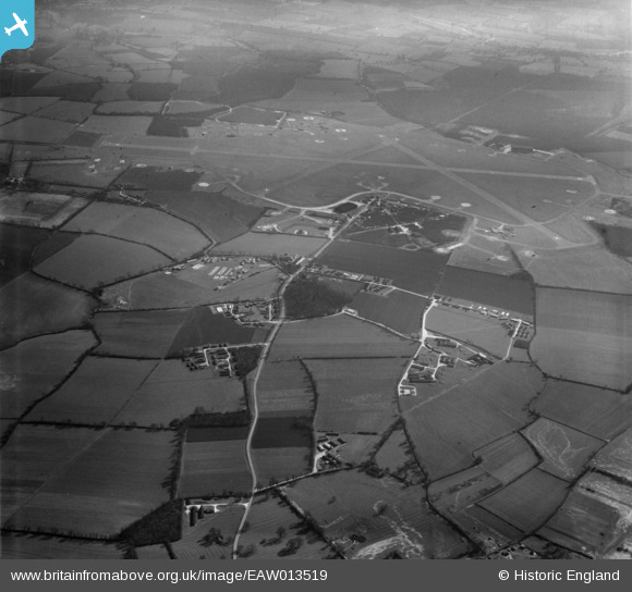
EAW013519 ENGLAND (1948). RAF Podington and environs, Podington, 1948
© Copyright OpenStreetMap contributors and licensed by the OpenStreetMap Foundation. 2026. Cartography is licensed as CC BY-SA.
Nearby Images (2)
EAW013519

EAW013518

Details
| Title | [EAW013519] RAF Podington and environs, Podington, 1948 |
| Reference | EAW013519 |
| Date | 9-March-1948 |
| Link | |
| Place name | PODINGTON |
| Parish | PODINGTON |
| District | |
| Country | ENGLAND |
| Easting / Northing | 494716, 261074 |
| Longitude / Latitude | -0.61274138057285, 52.239298465806 |
| National Grid Reference | SP947611 |
Pins
Be the first to add a comment to this image!