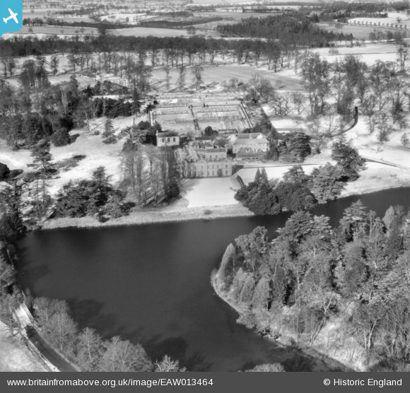
EAW013464 ENGLAND (1948). Compton Verney, Combrook, 1948
© Copyright OpenStreetMap contributors and licensed by the OpenStreetMap Foundation. 2024. Cartography is licensed as CC BY-SA.
Details
| Title | [EAW013464] Compton Verney, Combrook, 1948 |
| Reference | EAW013464 |
| Date | 20-February-1948 |
| Link | |
| Place name | COMBROOK |
| Parish | COMPTON VERNEY |
| District | |
| Country | ENGLAND |
| Easting / Northing | 431095, 252802 |
| Longitude / Latitude | -1.5452622627491, 52.172196528487 |
| National Grid Reference | SP311528 |
Pins
Be the first to add a comment to this image!


![[EAW013464] Compton Verney, Combrook, 1948](http://britainfromabove.org.uk/sites/all/libraries/aerofilms-images/public/100x100/EAW/013/EAW013464.jpg)
![[EAW013465] Compton Verney, Combrook, 1948](http://britainfromabove.org.uk/sites/all/libraries/aerofilms-images/public/100x100/EAW/013/EAW013465.jpg)
![[EAW025701] Compton Verney House and Grounds, Compton Verney, 1949. This image has been produced from a print.](http://britainfromabove.org.uk/sites/all/libraries/aerofilms-images/public/100x100/EAW/025/EAW025701.jpg)
![[EAW025706] Compton Verney House and Grounds, Compton Verney, from the south-east 1949](http://britainfromabove.org.uk/sites/all/libraries/aerofilms-images/public/100x100/EAW/025/EAW025706.jpg)