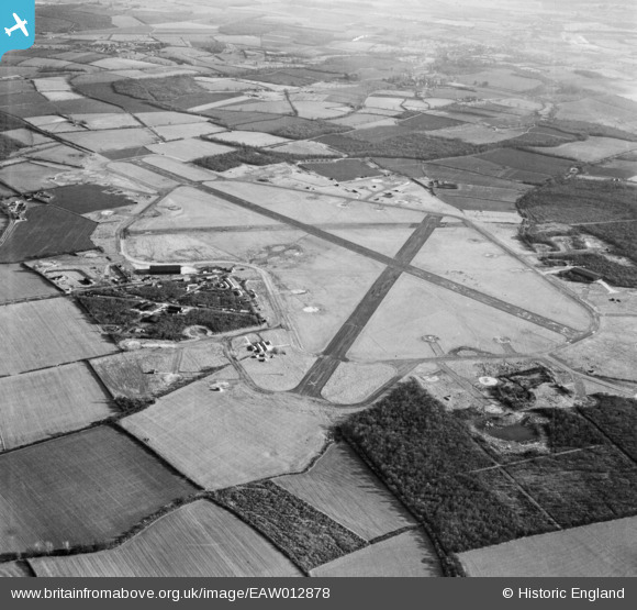
EAW012878 ENGLAND (1948). RAF Podington Airfield, Odell, 1948
© Copyright OpenStreetMap contributors and licensed by the OpenStreetMap Foundation. 2026. Cartography is licensed as CC BY-SA.
Details
| Title | [EAW012878] RAF Podington Airfield, Odell, 1948 |
| Reference | EAW012878 |
| Date | 19-January-1948 |
| Link | |
| Place name | ODELL |
| Parish | ODELL |
| District | |
| Country | ENGLAND |
| Easting / Northing | 495035, 260285 |
| Longitude / Latitude | -0.60829250974185, 52.23215137194 |
| National Grid Reference | SP950603 |
Pins

bescotbeast |
Friday 6th of March 2015 02:05:18 AM |
User Comment Contributions
The airfield was originally built during 1940 & 1941 and in 1942 made available to the United States Army Air Forces 8th Air Force - see http://en.wikipedia.org/wiki/RAF_Podington. In 1966 it became (and still is) the Santa Pod Raceway, used for drag car racing. |

melgibbs |
Thursday 14th of November 2013 06:48:20 PM |


![[EAW012878] RAF Podington Airfield, Odell, 1948](http://britainfromabove.org.uk/sites/all/libraries/aerofilms-images/public/100x100/EAW/012/EAW012878.jpg)
![[EAW013512] RAF Podington, Odell, 1948](http://britainfromabove.org.uk/sites/all/libraries/aerofilms-images/public/100x100/EAW/013/EAW013512.jpg)
![[EAW013513] RAF Podington, Odell, 1948](http://britainfromabove.org.uk/sites/all/libraries/aerofilms-images/public/100x100/EAW/013/EAW013513.jpg)