
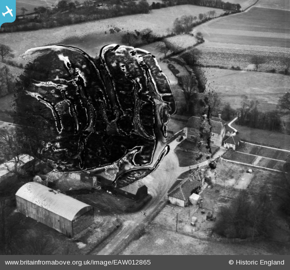
EAW012865 ENGLAND (1948). Bury Farm, Great Missenden, 1948. This image has been produced from a damaged negative.
© Copyright OpenStreetMap contributors and licensed by the OpenStreetMap Foundation. 2026. Cartography is licensed as CC BY-SA.
Nearby Images (6)
EAW012865

EAW012863

EAW012861

EAW012862

EAW012864

EAW012859

Details
| Title | [EAW012865] Bury Farm, Great Missenden, 1948. This image has been produced from a damaged negative. |
| Reference | EAW012865 |
| Date | 10-January-1948 |
| Link | |
| Place name | GREAT MISSENDEN |
| Parish | GREAT MISSENDEN |
| District | |
| Country | ENGLAND |
| Easting / Northing | 490650, 202078 |
| Longitude / Latitude | -0.68786301314546, 51.709645071234 |
| National Grid Reference | SP907021 |
Pins

Class31 |
Tuesday 12th of November 2013 07:33:01 PM |
User Comment Contributions
Looking south west. |
Class31 |
Tuesday 12th of November 2013 07:34:07 PM |