
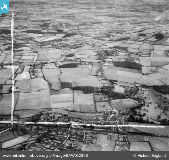
EAW012858 ENGLAND (1948). Bury Farm, the village and the surrounding countryside, Great Missenden, 1948. This image was marked by Aerofilms Ltd for photo editing.
© Copyright OpenStreetMap contributors and licensed by the OpenStreetMap Foundation. 2026. Cartography is licensed as CC BY-SA.
Nearby Images (3)
EAW012858

EAW012860

EAW012859

Details
| Title | [EAW012858] Bury Farm, the village and the surrounding countryside, Great Missenden, 1948. This image was marked by Aerofilms Ltd for photo editing. |
| Reference | EAW012858 |
| Date | 10-January-1948 |
| Link | |
| Place name | GREAT MISSENDEN |
| Parish | GREAT MISSENDEN |
| District | |
| Country | ENGLAND |
| Easting / Northing | 490258, 201853 |
| Longitude / Latitude | -0.69359380307984, 51.707685572733 |
| National Grid Reference | SP903019 |
