
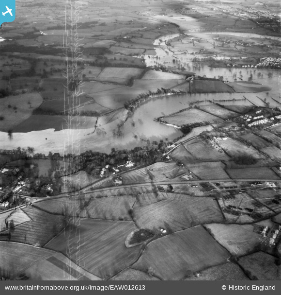
EAW012613 ENGLAND (1948). The River Severn in flood, Shelton, 1948. This image has been produced from a damaged negative.
© Copyright OpenStreetMap contributors and licensed by the OpenStreetMap Foundation. 2026. Cartography is licensed as CC BY-SA.
Nearby Images (2)
EAW012613

EAW012506

Details
| Title | [EAW012613] The River Severn in flood, Shelton, 1948. This image has been produced from a damaged negative. |
| Reference | EAW012613 |
| Date | 14-January-1948 |
| Link | |
| Place name | SHELTON |
| Parish | SHREWSBURY |
| District | |
| Country | ENGLAND |
| Easting / Northing | 347256, 313437 |
| Longitude / Latitude | -2.7808911067106, 52.715674656186 |
| National Grid Reference | SJ473134 |
Pins
Be the first to add a comment to this image!