
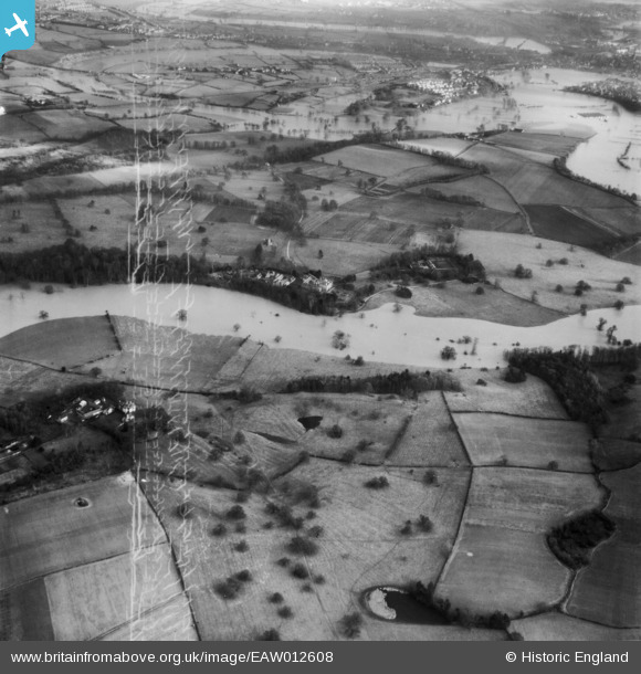
EAW012608 ENGLAND (1948). The River Severn in flood at Berwick House, Upper Berwick, 1948. This image has been produced from a damaged negative.
© Copyright OpenStreetMap contributors and licensed by the OpenStreetMap Foundation. 2026. Cartography is licensed as CC BY-SA.
Nearby Images (2)
EAW012608

EAW012503

Details
| Title | [EAW012608] The River Severn in flood at Berwick House, Upper Berwick, 1948. This image has been produced from a damaged negative. |
| Reference | EAW012608 |
| Date | 14-January-1948 |
| Link | |
| Place name | UPPER BERWICK |
| Parish | PIMHILL |
| District | |
| Country | ENGLAND |
| Easting / Northing | 346972, 314848 |
| Longitude / Latitude | -2.7853232121789, 52.728331494317 |
| National Grid Reference | SJ470148 |
Pins
Be the first to add a comment to this image!