
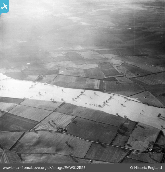
EAW012553 ENGLAND (1948). The River Severn in flood, Wroxeter, 1948
© Copyright OpenStreetMap contributors and licensed by the OpenStreetMap Foundation. 2024. Cartography is licensed as CC BY-SA.
Nearby Images (2)
EAW012553

EAW012644

Details
| Title | [EAW012553] The River Severn in flood, Wroxeter, 1948 |
| Reference | EAW012553 |
| Date | 14-January-1948 |
| Link | |
| Place name | WROXETER |
| Parish | WROXETER AND UPPINGTON |
| District | |
| Country | ENGLAND |
| Easting / Northing | 356196, 307368 |
| Longitude / Latitude | -2.6477339244663, 52.661911371053 |
| National Grid Reference | SJ562074 |
Pins
Be the first to add a comment to this image!