
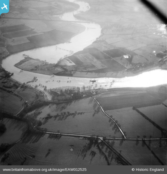
EAW012525 ENGLAND (1948). The River Severn in flood at Monkmoor, Shrewsbury, 1948
© Copyright OpenStreetMap contributors and licensed by the OpenStreetMap Foundation. 2026. Cartography is licensed as CC BY-SA.
Nearby Images (3)
EAW012525

EAW012526

EAW012622

Details
| Title | [EAW012525] The River Severn in flood at Monkmoor, Shrewsbury, 1948 |
| Reference | EAW012525 |
| Date | 14-January-1948 |
| Link | |
| Place name | SHREWSBURY |
| Parish | SHREWSBURY |
| District | |
| Country | ENGLAND |
| Easting / Northing | 352109, 314134 |
| Longitude / Latitude | -2.7091488719263, 52.722392013679 |
| National Grid Reference | SJ521141 |
Pins
Be the first to add a comment to this image!