
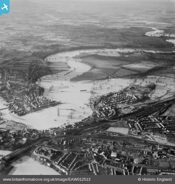
EAW012513 ENGLAND (1948). The River Severn in flood, Shrewsbury, from the east, 1948
© Copyright OpenStreetMap contributors and licensed by the OpenStreetMap Foundation. 2026. Cartography is licensed as CC BY-SA.
Nearby Images (3)
EAW012513

EAW001630

EAW012515

Details
| Title | [EAW012513] The River Severn in flood, Shrewsbury, from the east, 1948 |
| Reference | EAW012513 |
| Date | 14-January-1948 |
| Link | |
| Place name | SHREWSBURY |
| Parish | SHREWSBURY |
| District | |
| Country | ENGLAND |
| Easting / Northing | 349281, 313447 |
| Longitude / Latitude | -2.7509147647433, 52.715958184028 |
| National Grid Reference | SJ493134 |
Pins
Be the first to add a comment to this image!