
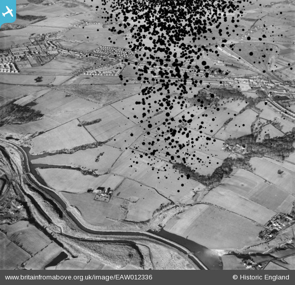
EAW012336 ENGLAND (1947). The St Helens Canal north-east of Ashton's Green, St Helens, 1947. This image has been produced from a damaged negative.
© Copyright OpenStreetMap contributors and licensed by the OpenStreetMap Foundation. 2026. Cartography is licensed as CC BY-SA.
Nearby Images (2)
EAW012336

EAW012337

Details
| Title | [EAW012336] The St Helens Canal north-east of Ashton's Green, St Helens, 1947. This image has been produced from a damaged negative. |
| Reference | EAW012336 |
| Date | 26-November-1947 |
| Link | |
| Place name | ST HELENS |
| Parish | |
| District | |
| Country | ENGLAND |
| Easting / Northing | 355212, 396031 |
| Longitude / Latitude | -2.6746212133693, 53.45886825521 |
| National Grid Reference | SJ552960 |
Pins
Be the first to add a comment to this image!