
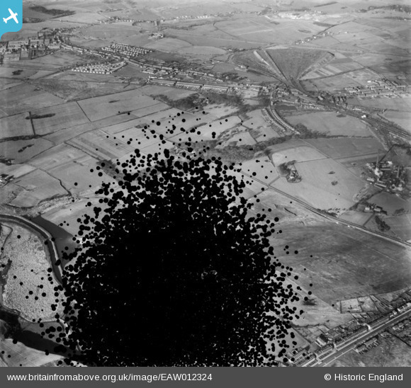
EAW012324 ENGLAND (1947). Countryside to the south of Haydock, Newton-Le-Willows, 1947. This image has been produced from a damaged negative.
© Copyright OpenStreetMap contributors and licensed by the OpenStreetMap Foundation. 2026. Cartography is licensed as CC BY-SA.
Nearby Images (3)
EAW012324

EAW012323

EAW012338

Details
| Title | [EAW012324] Countryside to the south of Haydock, Newton-Le-Willows, 1947. This image has been produced from a damaged negative. |
| Reference | EAW012324 |
| Date | 26-November-1947 |
| Link | |
| Place name | NEWTON-LE-WILLOWS |
| Parish | |
| District | |
| Country | ENGLAND |
| Easting / Northing | 355748, 395826 |
| Longitude / Latitude | -2.6665194346685, 53.457070834943 |
| National Grid Reference | SJ557958 |
Pins

pauloyick |
Saturday 21st of December 2013 07:33:40 PM | |
|
pauloyick |
Saturday 21st of December 2013 07:31:20 PM | |
|
pauloyick |
Saturday 21st of December 2013 07:30:32 PM | |
|
pauloyick |
Saturday 21st of December 2013 07:29:30 PM | |
|
pauloyick |
Saturday 21st of December 2013 07:29:06 PM | |
|
pauloyick |
Saturday 21st of December 2013 07:28:35 PM | |
|
pauloyick |
Saturday 21st of December 2013 07:27:20 PM |
