
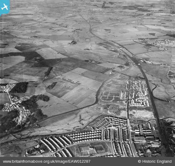
EAW012287 ENGLAND (1947). The St Helens Canal to the east of RAF Burtonwood, Burtonwood, 1947
© Copyright OpenStreetMap contributors and licensed by the OpenStreetMap Foundation. 2026. Cartography is licensed as CC BY-SA.
Nearby Images (2)
EAW012287

EAW012286

Details
| Title | [EAW012287] The St Helens Canal to the east of RAF Burtonwood, Burtonwood, 1947 |
| Reference | EAW012287 |
| Date | 26-November-1947 |
| Link | |
| Place name | BURTONWOOD |
| Parish | BURTONWOOD AND WESTBROOK |
| District | |
| Country | ENGLAND |
| Easting / Northing | 359405, 390713 |
| Longitude / Latitude | -2.6107822856304, 53.411404376466 |
| National Grid Reference | SJ594907 |
Pins

DaveH |
Friday 9th of August 2019 10:53:01 PM | |
|
Baz |
Monday 7th of December 2015 11:09:54 PM | |
|
Ian Savell |
Monday 6th of October 2014 12:34:10 PM | |
|
Dave |
Monday 24th of March 2014 12:42:20 PM | |
|
Dave |
Monday 24th of March 2014 12:35:35 PM | |
Sankey Viaduct not 9 arches |

Ginger79 |
Monday 29th of March 2021 07:51:58 PM |
|
Dave |
Monday 24th of March 2014 12:34:26 PM |
