
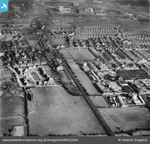
EAW012084 ENGLAND (1947). Housing at Redwood Crescent and the Ericsson Telephone Works, Rylands, 1947
© Copyright OpenStreetMap contributors and licensed by the OpenStreetMap Foundation. 2026. Cartography is licensed as CC BY-SA.
Nearby Images (22)
EAW012084

EAW004248

EAW006378

EAW004249

EAW005004

EAW004244

EPW052424

EAW012085

EAW006383

EAW006382

EPW053164

EAW006376

EAW006380

EAW005005

EAW004245

EPW053168

EAW006379

EPW053167

EAW004243

EAW004246

EPW053165

EAW005006

Details
| Title | [EAW012084] Housing at Redwood Crescent and the Ericsson Telephone Works, Rylands, 1947 |
| Reference | EAW012084 |
| Date | 5-November-1947 |
| Link | |
| Place name | RYLANDS |
| Parish | |
| District | |
| Country | ENGLAND |
| Easting / Northing | 453262, 336062 |
| Longitude / Latitude | -1.207750509728, 52.919014477748 |
| National Grid Reference | SK533361 |
