
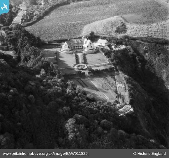
EAW011829 ENGLAND (1947). Monkswell (Hopes View House), Black Head, 1947
© Copyright OpenStreetMap contributors and licensed by the OpenStreetMap Foundation. 2025. Cartography is licensed as CC BY-SA.
Nearby Images (11)
EAW011829
, Black Head, 1947")
EAW011826
, Black Head, 1947")
EAW011825

EAW011828
 and Kents Bank, Black Head, 1947")
EAW011827
 and environs, Black Head, 1947")
EAW011832
, Black Head, 1947")
EAW011833
, Black Head, 1947")
EAW011830

EAW011830
EAW011831

EAW011831
Details
| Title | [EAW011829] Monkswell (Hopes View House), Black Head, 1947 |
| Reference | EAW011829 |
| Date | 7-October-1947 |
| Link | |
| Place name | BLACK HEAD |
| Parish | |
| District | |
| Country | ENGLAND |
| Easting / Northing | 294204, 63934 |
| Longitude / Latitude | -3.490818595081, 50.465076235871 |
| National Grid Reference | SX942639 |
Pins
Be the first to add a comment to this image!