
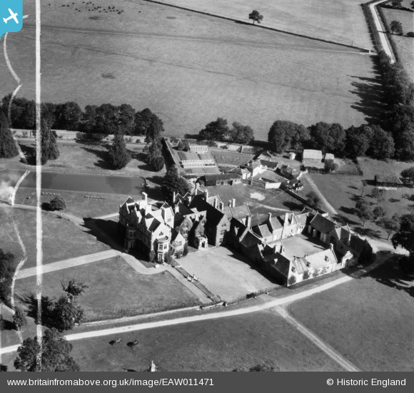
EAW011471 ENGLAND (1947). Fermyn Woods Hall, Brigstock, 1947. This image was marked by Aerofilms Ltd for photo editing.
© Copyright OpenStreetMap contributors and licensed by the OpenStreetMap Foundation. 2025. Cartography is licensed as CC BY-SA.
Nearby Images (6)
EAW011471

EAW011472

EAW011469

EAW011470

EAW011467

EAW011468

Details
| Title | [EAW011471] Fermyn Woods Hall, Brigstock, 1947. This image was marked by Aerofilms Ltd for photo editing. |
| Reference | EAW011471 |
| Date | 24-September-1947 |
| Link | |
| Place name | BRIGSTOCK |
| Parish | BRIGSTOCK |
| District | |
| Country | ENGLAND |
| Easting / Northing | 495842, 287149 |
| Longitude / Latitude | -0.58880752804016, 52.473478182083 |
| National Grid Reference | SP958871 |
Pins
Be the first to add a comment to this image!