
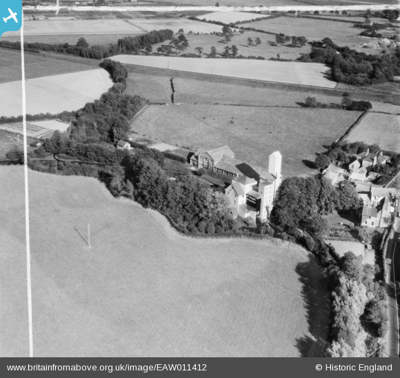
EAW011412 ENGLAND (1947). Horsebridge Flour Mill, Upper Horsebridge, 1947. This image was marked by Aerofilms Ltd for photo editing.
© Copyright OpenStreetMap contributors and licensed by the OpenStreetMap Foundation. 2026. Cartography is licensed as CC BY-SA.
Nearby Images (8)
EAW011412

EAW011408

EAW011411

EAW011405

EAW011409

EAW011410

EAW011406

EAW011407

Details
| Title | [EAW011412] Horsebridge Flour Mill, Upper Horsebridge, 1947. This image was marked by Aerofilms Ltd for photo editing. |
| Reference | EAW011412 |
| Date | 1-October-1947 |
| Link | |
| Place name | UPPER HORSEBRIDGE |
| Parish | HAILSHAM |
| District | |
| Country | ENGLAND |
| Easting / Northing | 558139, 111363 |
| Longitude / Latitude | 0.24818527785832, 50.879537202766 |
| National Grid Reference | TQ581114 |
Pins

bescotbeast |
Thursday 15th of October 2015 04:19:00 PM | |
|
bescotbeast |
Thursday 15th of October 2015 04:17:49 PM |