
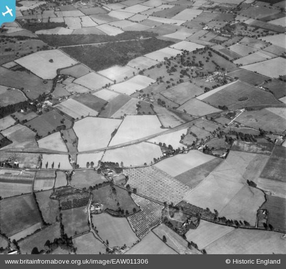
EAW011306 ENGLAND (1947). Rushbrooke Woods (Link Wood) and the surrounding countryside, Little Welnetham, 1947
© Copyright OpenStreetMap contributors and licensed by the OpenStreetMap Foundation. 2026. Cartography is licensed as CC BY-SA.
Details
| Title | [EAW011306] Rushbrooke Woods (Link Wood) and the surrounding countryside, Little Welnetham, 1947 |
| Reference | EAW011306 |
| Date | 1-October-1947 |
| Link | |
| Place name | LITTLE WELNETHAM |
| Parish | LITTLE WHELNETHAM |
| District | |
| Country | ENGLAND |
| Easting / Northing | 589169, 259396 |
| Longitude / Latitude | 0.76841333752698, 52.199882365357 |
| National Grid Reference | TL892594 |
Pins

cptpies |
Wednesday 8th of April 2015 11:16:24 AM | |
|
cptpies |
Wednesday 8th of April 2015 11:15:54 AM | |
 [eBay} - Copy_0.jpg)
ChesterMan |
Thursday 2nd of April 2015 08:08:41 PM | |
|
ChesterMan |
Thursday 2nd of April 2015 07:47:05 PM | |
|
ChesterMan |
Thursday 2nd of April 2015 07:27:06 PM |
User Comment Contributions
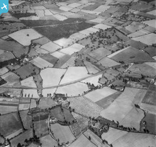
Several Type 22 & Type 27 pillboxes around Great Welnetham on the Eastern Command Corps Stop Line between Long Melford and Bury St. Edmunds |
ChesterMan |
Thursday 2nd of April 2015 07:36:53 PM |