
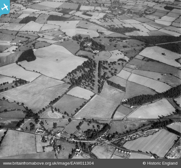
EAW011304 ENGLAND (1947). Rushbrooke Hall and Rushbrooke Park, Rushbrooke, 1947
© Copyright OpenStreetMap contributors and licensed by the OpenStreetMap Foundation. 2026. Cartography is licensed as CC BY-SA.
Details
| Title | [EAW011304] Rushbrooke Hall and Rushbrooke Park, Rushbrooke, 1947 |
| Reference | EAW011304 |
| Date | 1-October-1947 |
| Link | |
| Place name | RUSHBROOKE |
| Parish | RUSHBROOKE WITH ROUGHAM |
| District | |
| Country | ENGLAND |
| Easting / Northing | 588481, 260887 |
| Longitude / Latitude | 0.75918736406655, 52.213508684073 |
| National Grid Reference | TL885609 |
Pins

Matt Aldred edob.mattaldred.com |
Thursday 11th of March 2021 04:07:48 PM | |
|
Matt Aldred edob.mattaldred.com |
Thursday 11th of March 2021 04:07:16 PM | |

cptpies |
Wednesday 8th of April 2015 11:14:15 AM | |
|
cptpies |
Wednesday 8th of April 2015 11:13:46 AM | |
 [eBay} - Copy_0.jpg)
ChesterMan |
Thursday 2nd of April 2015 08:56:36 PM | |
|
ChesterMan |
Thursday 2nd of April 2015 08:52:28 PM |
User Comment Contributions

Several Type 22 pillboxes between Great & Little Welnetham on the Eastern Command Corps Stop Line between Long Melford and Bury St. Edmunds |
ChesterMan |
Thursday 2nd of April 2015 09:01:58 PM |