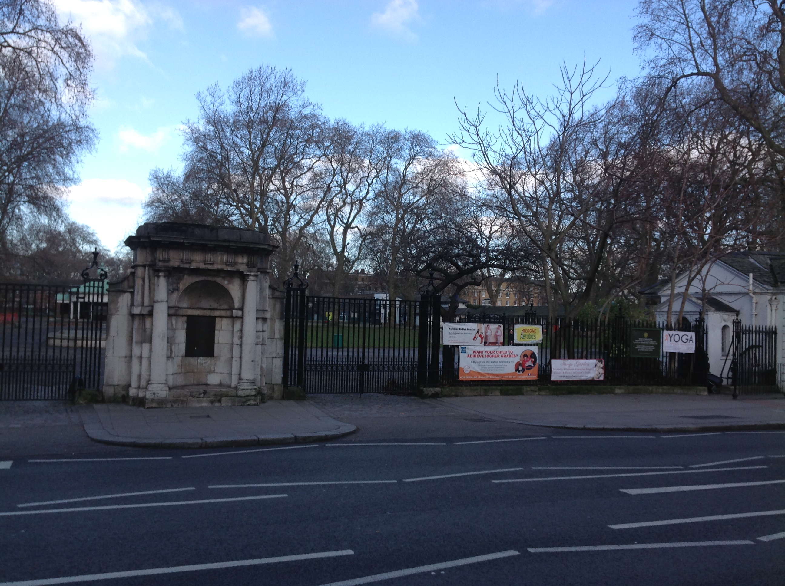
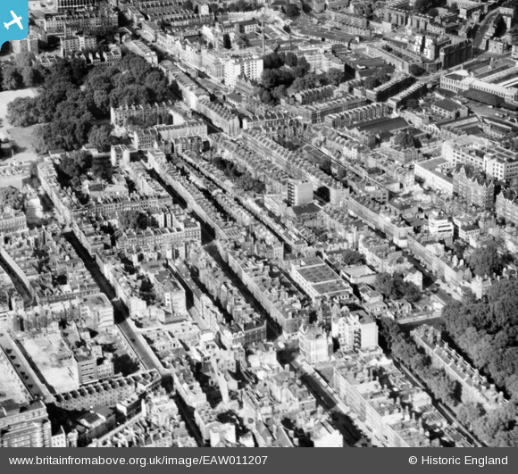
EAW011207 ENGLAND (1947). Millman Street and environs, Holborn, 1947
© Copyright OpenStreetMap contributors and licensed by the OpenStreetMap Foundation. 2026. Cartography is licensed as CC BY-SA.
Nearby Images (6)
EAW011207

EAW018346

EAW011087

EAW035152

EPW035201
 and environs, Bloomsbury, 1931. This image has been produced from a damaged negative.")
EPW035202
 and environs, Bloomsbury, 1931")
Details
| Title | [EAW011207] Millman Street and environs, Holborn, 1947 |
| Reference | EAW011207 |
| Date | 30-September-1947 |
| Link | |
| Place name | HOLBORN |
| Parish | |
| District | |
| Country | ENGLAND |
| Easting / Northing | 530765, 182053 |
| Longitude / Latitude | -0.11496904498342, 51.521755104321 |
| National Grid Reference | TQ308821 |
Pins

Class31 |
Tuesday 20th of January 2015 01:38:17 PM | |
|
Class31 |
Tuesday 20th of January 2015 01:35:09 PM | |
|
Class31 |
Tuesday 20th of January 2015 01:34:09 PM | |
|
Class31 |
Tuesday 20th of January 2015 01:29:52 PM | |
|
Class31 |
Tuesday 20th of January 2015 01:28:06 PM | |

billyfern |
Saturday 28th of June 2014 04:09:47 PM | |
|
billyfern |
Saturday 28th of June 2014 04:09:20 PM | |
|
billyfern |
Saturday 28th of June 2014 01:53:41 AM | |
|
billyfern |
Saturday 28th of June 2014 01:53:05 AM | |
|
billyfern |
Saturday 28th of June 2014 01:52:43 AM | |
|
billyfern |
Saturday 28th of June 2014 01:52:21 AM | |
|
billyfern |
Saturday 28th of June 2014 01:51:55 AM | |
|
billyfern |
Saturday 28th of June 2014 01:51:34 AM | |
|
billyfern |
Saturday 28th of June 2014 01:51:19 AM | |
|
Class31 |
Saturday 14th of June 2014 06:54:12 PM | |
|
Class31 |
Saturday 14th of June 2014 06:53:09 PM |