
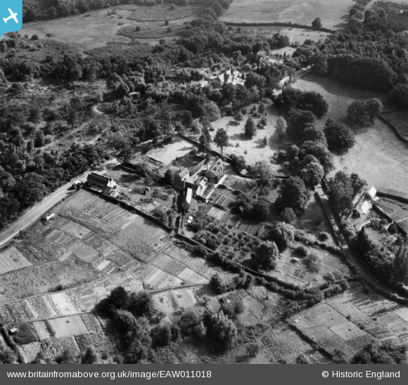
EAW011018 ENGLAND (1947). Clare Cottage and environs, Cold Ash, 1947
© Copyright OpenStreetMap contributors and licensed by the OpenStreetMap Foundation. 2026. Cartography is licensed as CC BY-SA.
Nearby Images (10)
EAW011018

EAW011019

EAW011013

EAW011014

EAW011016

EAW011021

EAW011012

EAW011015

EAW011017

EAW011020

Details
| Title | [EAW011018] Clare Cottage and environs, Cold Ash, 1947 |
| Reference | EAW011018 |
| Date | 24-September-1947 |
| Link | |
| Place name | COLD ASH |
| Parish | COLD ASH |
| District | |
| Country | ENGLAND |
| Easting / Northing | 451535, 169792 |
| Longitude / Latitude | -1.2587086295073, 51.424299236146 |
| National Grid Reference | SU515698 |
Pins
Be the first to add a comment to this image!