
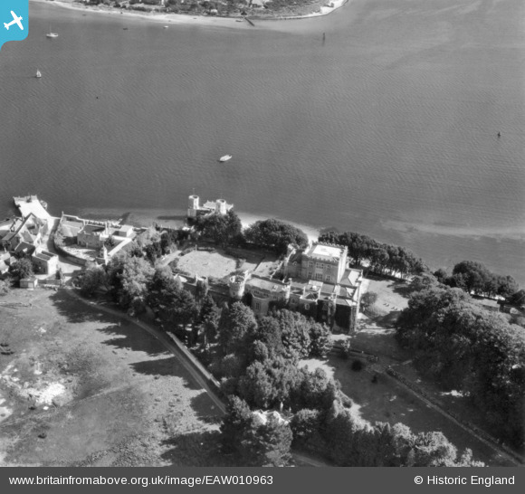
EAW010963 ENGLAND (1947). Branksea Castle, Brownsea Island, 1947. This image has been produced from a print.
© Copyright OpenStreetMap contributors and licensed by the OpenStreetMap Foundation. 2026. Cartography is licensed as CC BY-SA.
Nearby Images (11)
EAW010963

EPW000275

EAW010966

EAW010965

EAW010967

EPW000260

EAW010964

EPW000259

EAW019956

EPW041057

EPW041058

Details
| Title | [EAW010963] Branksea Castle, Brownsea Island, 1947. This image has been produced from a print. |
| Reference | EAW010963 |
| Date | 24-September-1947 |
| Link | |
| Place name | BROWNSEA ISLAND |
| Parish | STUDLAND |
| District | |
| Country | ENGLAND |
| Easting / Northing | 403095, 87621 |
| Longitude / Latitude | -1.956181889723, 50.687655488143 |
| National Grid Reference | SZ031876 |
Pins

Matt Aldred edob.mattaldred.com |
Thursday 12th of November 2020 09:14:28 PM | |
|
Matt Aldred edob.mattaldred.com |
Thursday 12th of November 2020 09:12:06 PM | |

redmist |
Sunday 9th of August 2020 09:55:30 AM |
User Comment Contributions

Brownsea Island, 26/06/2009 |

Class31 |
Monday 10th of November 2014 12:48:14 PM |
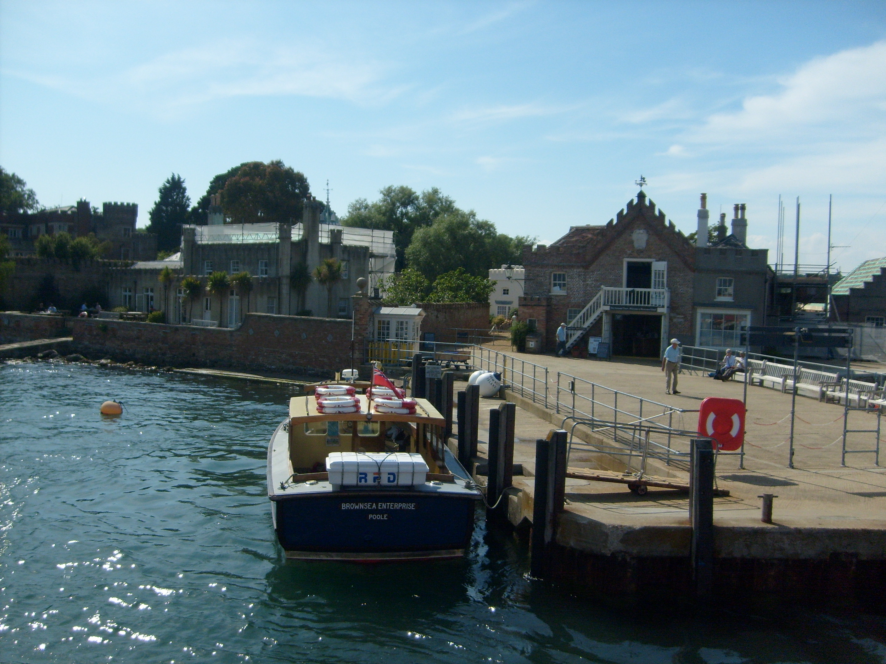
Brownsea Island, 26/06/2009 |
Class31 |
Monday 10th of November 2014 12:39:47 PM |
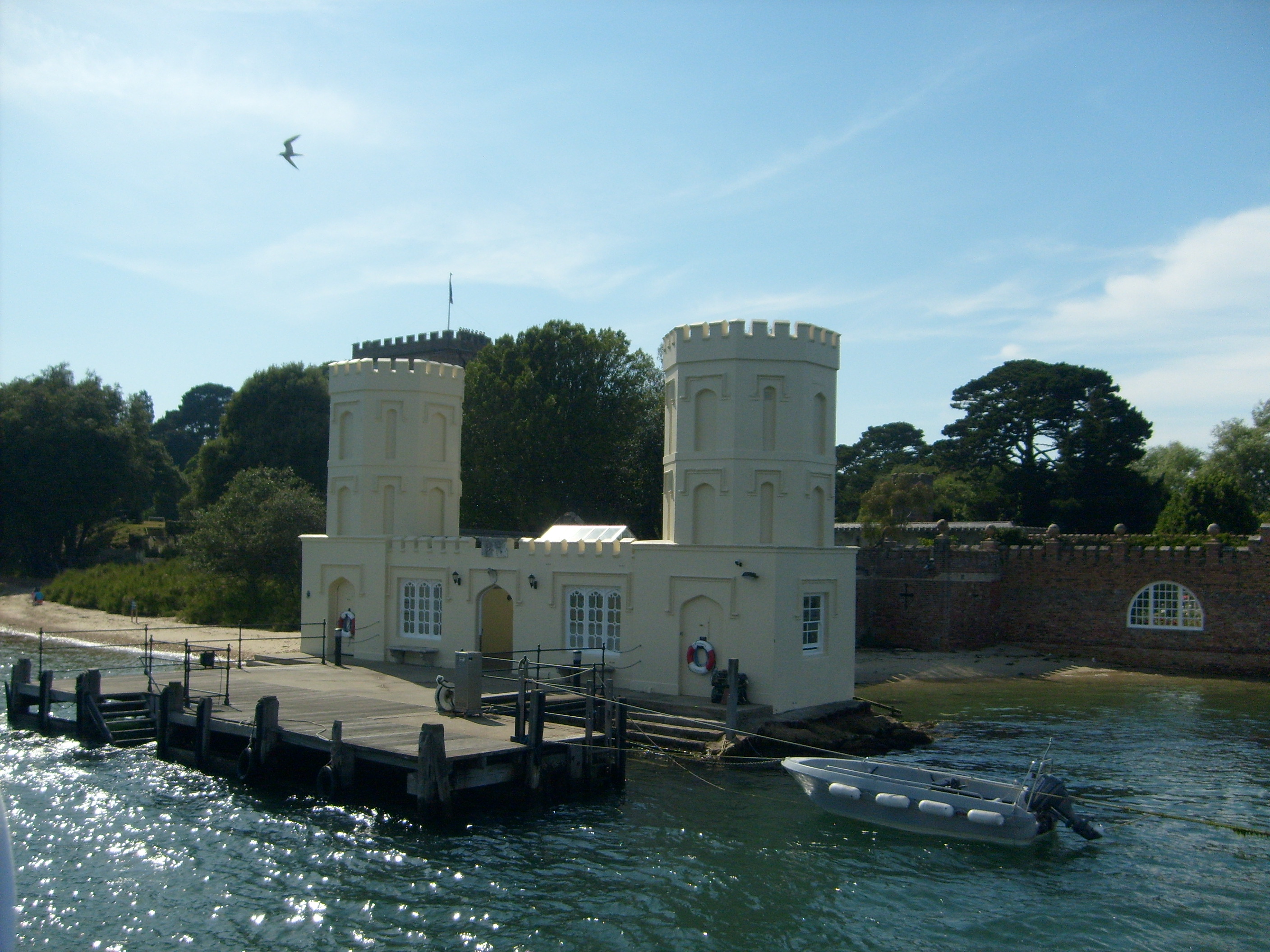
Brownsea Island, 26/06/2009 |
Class31 |
Monday 10th of November 2014 12:39:19 PM |
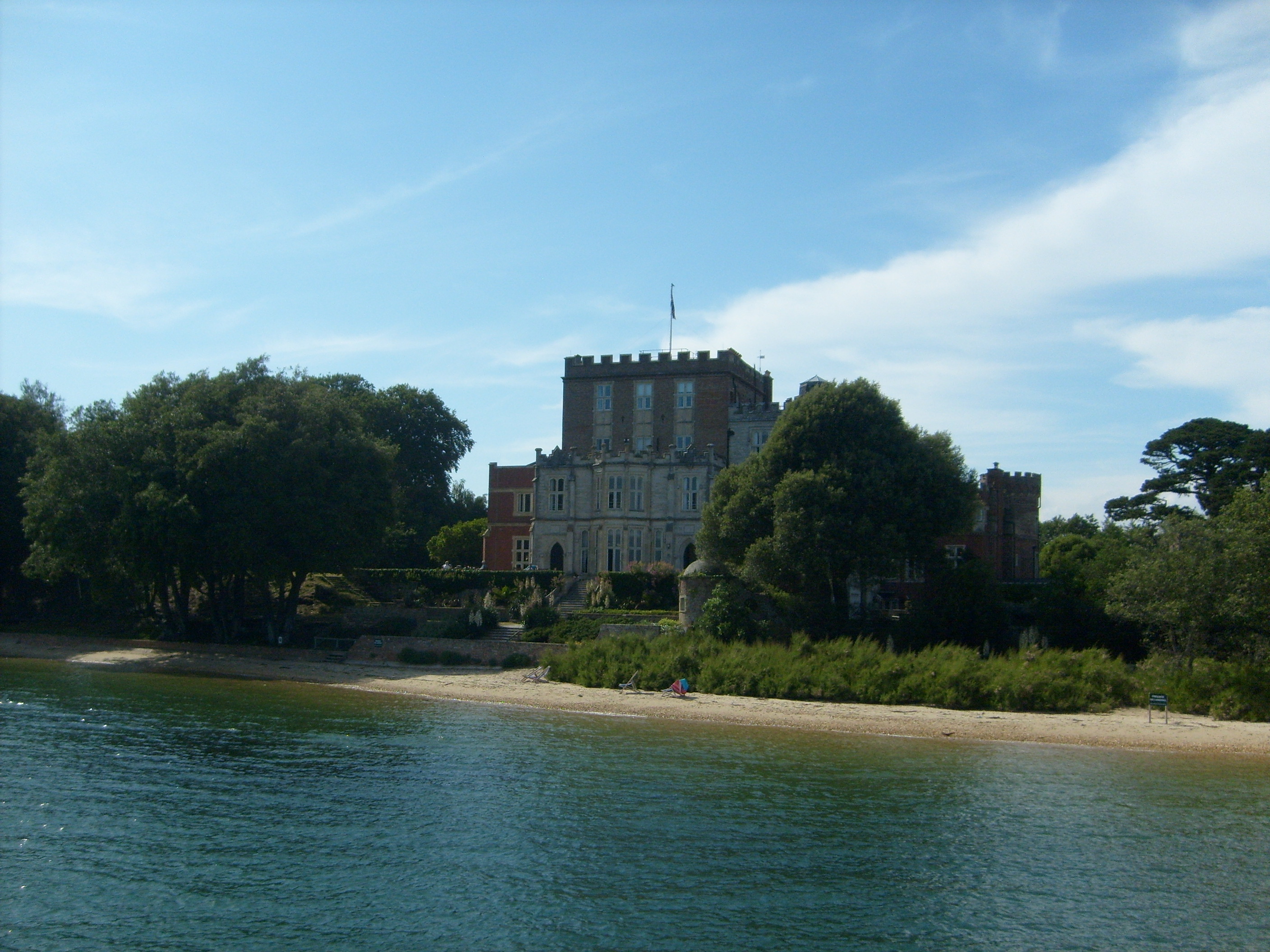
Branksea Castle, Brownsea Island, 26/06/2009 |
Class31 |
Monday 10th of November 2014 12:38:49 PM |