
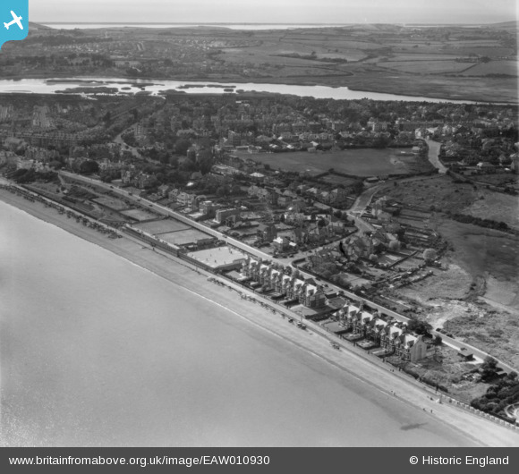
EAW010930 ENGLAND (1947). Greenhill and environs, Melcombe Regis, from the east, 1947
© Copyright OpenStreetMap contributors and licensed by the OpenStreetMap Foundation. 2026. Cartography is licensed as CC BY-SA.
Nearby Images (3)
EAW010930

EAW010929

EPW039702

Details
| Title | [EAW010930] Greenhill and environs, Melcombe Regis, from the east, 1947 |
| Reference | EAW010930 |
| Date | 24-September-1947 |
| Link | |
| Place name | MELCOMBE REGIS |
| Parish | |
| District | |
| Country | ENGLAND |
| Easting / Northing | 368607, 80464 |
| Longitude / Latitude | -2.4438389132237, 50.622449705641 |
| National Grid Reference | SY686805 |
Pins

User Comment Contributions
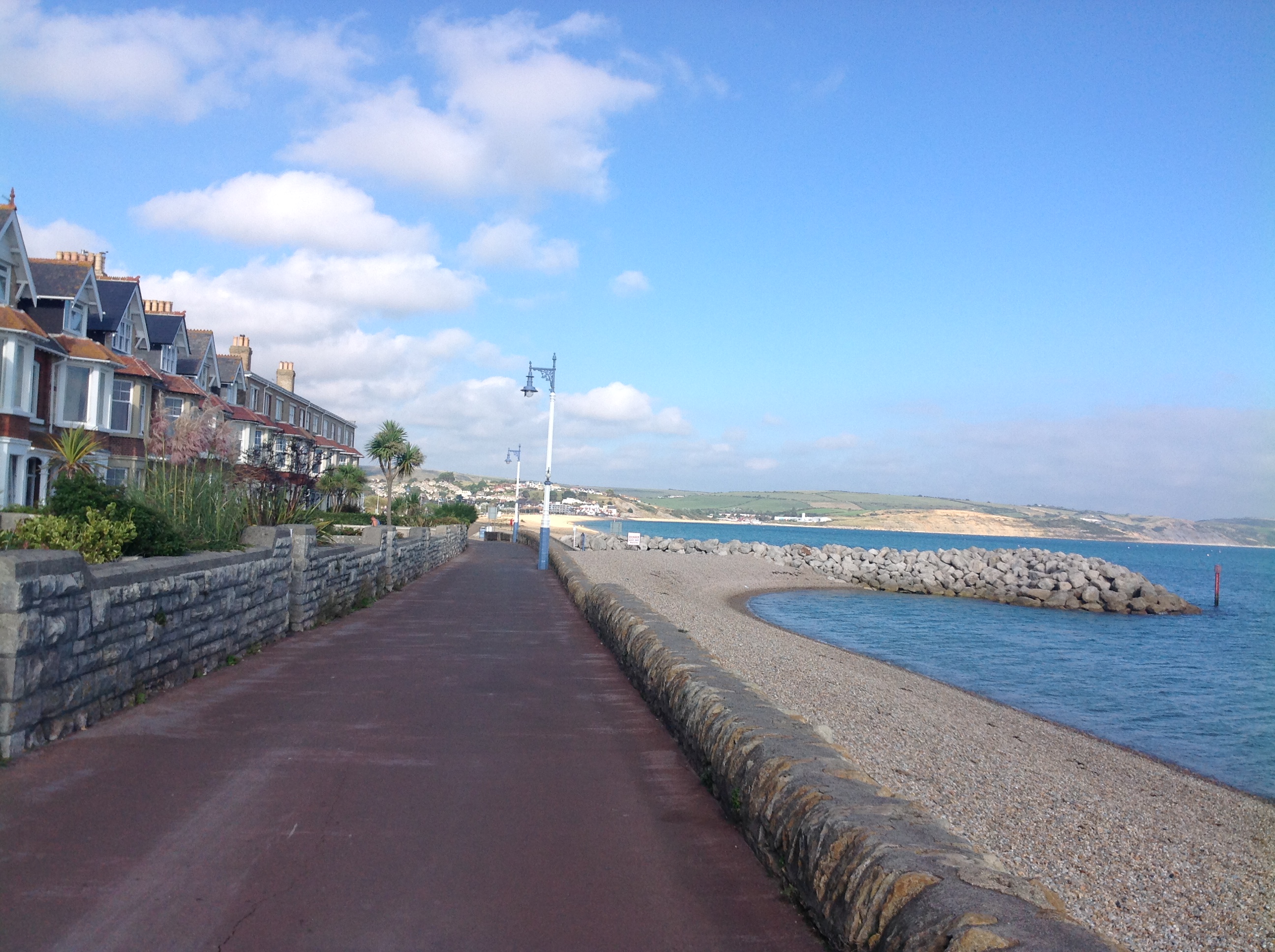
Greenhill, Weymouth, 03/10/2014 |

Class31 |
Tuesday 13th of October 2015 06:13:59 AM |