
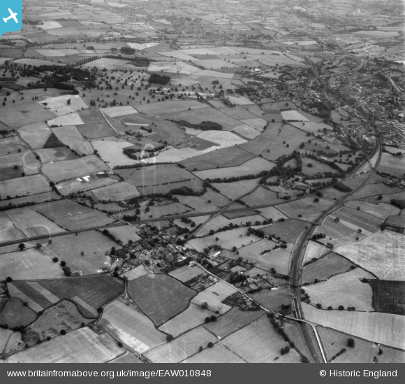
EAW010848 ENGLAND (1947). The village and Dothill Park, Admaston, from the north-west, 1947
© Copyright OpenStreetMap contributors and licensed by the OpenStreetMap Foundation. 2025. Cartography is licensed as CC BY-SA.
Nearby Images (4)
EAW010848

EAW006762

EAW006764

EAW006763

Details
| Title | [EAW010848] The village and Dothill Park, Admaston, from the north-west, 1947 |
| Reference | EAW010848 |
| Date | 13-September-1947 |
| Link | |
| Place name | ADMASTON |
| Parish | WROCKWARDINE |
| District | |
| Country | ENGLAND |
| Easting / Northing | 363324, 313020 |
| Longitude / Latitude | -2.5429670723898, 52.713253631799 |
| National Grid Reference | SJ633130 |
Pins
Be the first to add a comment to this image!