
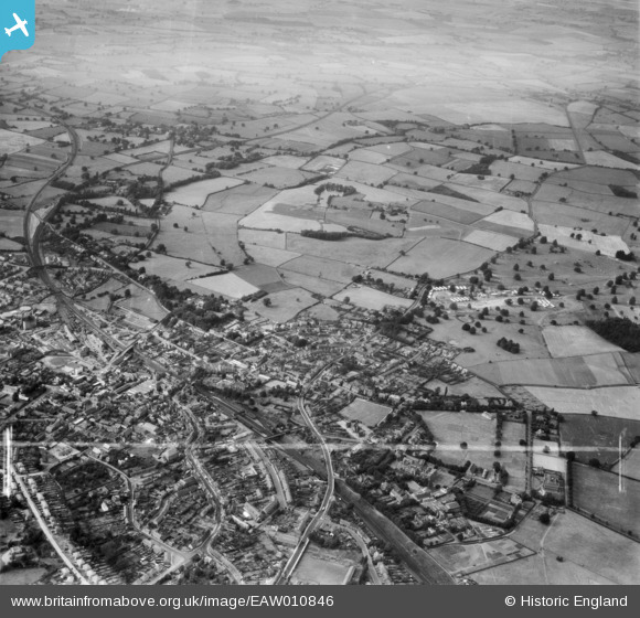
EAW010846 ENGLAND (1947). The town and Dothill Park, Wellington, from the south-east, 1947. This image was marked by Aerofilms Ltd for photo editing.
© Copyright OpenStreetMap contributors and licensed by the OpenStreetMap Foundation. 2026. Cartography is licensed as CC BY-SA.
Nearby Images (2)
EAW010846

EAW008047

Details
| Title | [EAW010846] The town and Dothill Park, Wellington, from the south-east, 1947. This image was marked by Aerofilms Ltd for photo editing. |
| Reference | EAW010846 |
| Date | 13-September-1947 |
| Link | |
| Place name | WELLINGTON |
| Parish | WELLINGTON |
| District | |
| Country | ENGLAND |
| Easting / Northing | 365288, 311784 |
| Longitude / Latitude | -2.5137619615492, 52.702271188928 |
| National Grid Reference | SJ653118 |
Pins
Be the first to add a comment to this image!