
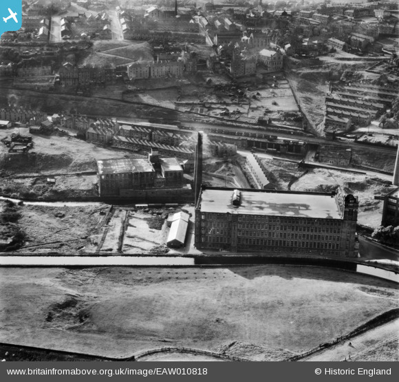
EAW010818 ENGLAND (1947). Milton Mill and environs, Mossley, 1947
© Copyright OpenStreetMap contributors and licensed by the OpenStreetMap Foundation. 2026. Cartography is licensed as CC BY-SA.
Nearby Images (13)
EAW010818

EAW010814

EAW010810

EAW010809

EAW010813

EAW010812

EAW010811

EAW010817

EPW016474

EAW010816

EAW010815

EPW016478

EPW016476

Details
| Title | [EAW010818] Milton Mill and environs, Mossley, 1947 |
| Reference | EAW010818 |
| Date | 17-September-1947 |
| Link | |
| Place name | MOSSLEY |
| Parish | MOSSLEY |
| District | |
| Country | ENGLAND |
| Easting / Northing | 397573, 402444 |
| Longitude / Latitude | -2.0366077880055, 53.518416586363 |
| National Grid Reference | SD976024 |
Pins

TheBlueCube |
Tuesday 28th of October 2014 09:13:24 PM |