
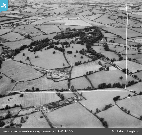
EAW010777 ENGLAND (1947). Kingwell Hall and Mearns Hill, Cross Ways, 1947. This image was marked by Aerofilms Ltd for photo editing.
© Copyright OpenStreetMap contributors and licensed by the OpenStreetMap Foundation. 2025. Cartography is licensed as CC BY-SA.
Nearby Images (4)
EAW010777

EAW010775
, Cross Ways, 1947")
EAW010776
, Cross Ways, 1947")
EAW010778

Details
| Title | [EAW010777] Kingwell Hall and Mearns Hill, Cross Ways, 1947. This image was marked by Aerofilms Ltd for photo editing. |
| Reference | EAW010777 |
| Date | 17-September-1947 |
| Link | |
| Place name | CROSS WAYS |
| Parish | FARMBOROUGH |
| District | |
| Country | ENGLAND |
| Easting / Northing | 365151, 158950 |
| Longitude / Latitude | -2.500224563862, 51.328076168169 |
| National Grid Reference | ST652590 |
Pins
Be the first to add a comment to this image!