
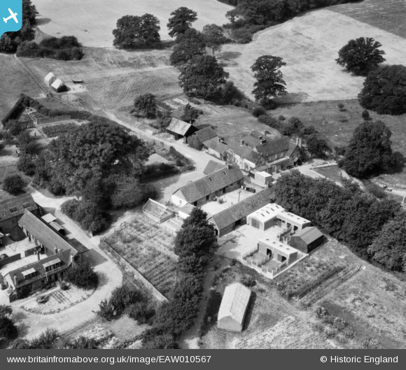
EAW010567 ENGLAND (1947). Glover's Farm, Charlwood, 1947
© Copyright OpenStreetMap contributors and licensed by the OpenStreetMap Foundation. 2026. Cartography is licensed as CC BY-SA.
Nearby Images (8)
EAW010567

EAW010563

EAW010561

EAW010566

EAW010565

EAW010560

EAW010564

EAW010562

Details
| Title | [EAW010567] Glover's Farm, Charlwood, 1947 |
| Reference | EAW010567 |
| Date | 3-September-1947 |
| Link | |
| Place name | CHARLWOOD |
| Parish | CHARLWOOD |
| District | |
| Country | ENGLAND |
| Easting / Northing | 523501, 141028 |
| Longitude / Latitude | -0.23385898156171, 51.154639623139 |
| National Grid Reference | TQ235410 |
Pins
Be the first to add a comment to this image!