
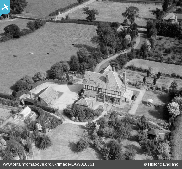
EAW010361 ENGLAND (1947). Spring Bank, Uttoxeter, 1947
© Copyright OpenStreetMap contributors and licensed by the OpenStreetMap Foundation. 2026. Cartography is licensed as CC BY-SA.
Nearby Images (10)
EAW010361

EAW010364

EAW010362

EAW010363

EAW010358

EAW010365

EAW010360

EAW010357

EAW010356

EAW010359

Details
| Title | [EAW010361] Spring Bank, Uttoxeter, 1947 |
| Reference | EAW010361 |
| Date | 29-August-1947 |
| Link | |
| Place name | UTTOXETER |
| Parish | UTTOXETER |
| District | |
| Country | ENGLAND |
| Easting / Northing | 409698, 332807 |
| Longitude / Latitude | -1.8558362941434, 52.892304576781 |
| National Grid Reference | SK097328 |
Pins
Be the first to add a comment to this image!