
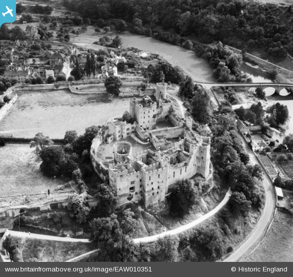
EAW010351 ENGLAND (1947). Ludlow Castle, Ludlow, 1947
© Copyright OpenStreetMap contributors and licensed by the OpenStreetMap Foundation. 2026. Cartography is licensed as CC BY-SA.
Nearby Images (8)
EAW010351

EAW010354

EAW010355

EAW010349

EAW010353

EAW010352

EAW010350

EPW016806

Details
| Title | [EAW010351] Ludlow Castle, Ludlow, 1947 |
| Reference | EAW010351 |
| Date | 28-August-1947 |
| Link | |
| Place name | LUDLOW |
| Parish | LUDLOW |
| District | |
| Country | ENGLAND |
| Easting / Northing | 350829, 274598 |
| Longitude / Latitude | -2.7222429452297, 52.366841067648 |
| National Grid Reference | SO508746 |
Pins
Be the first to add a comment to this image!