EAW010073 ENGLAND (1947). The area between Fetter Lane, Fleet Street and Shoe Lane, London, 1947
    © Copyright OpenStreetMap contributors and licensed by the OpenStreetMap Foundation. 2025. Cartography is licensed as CC BY-SA.
  
Nearby Images (32)
Details
| Title | [EAW010073] The area between Fetter Lane, Fleet Street and Shoe Lane, London, 1947 | 
| Reference | EAW010073 | 
| Date | 6-September-1947 | 
| Link | |
| Place name | LONDON | 
| Parish | |
| District | |
| Country | ENGLAND | 
| Easting / Northing | 531355, 181292 | 
| Longitude / Latitude | -0.10675263492213, 51.51477863669 | 
| National Grid Reference | TQ314813 | 
Pins
|  Public Record Office |   brianbeckett | Tuesday 19th of May 2020 02:23:57 PM | 
|  Dr Johnson's House |   Paul | Thursday 15th of November 2018 05:23:01 PM | 
|  St. Bride Street | Class31 | Thursday 12th of June 2014 11:40:21 PM | 
|  Farringdon Street | Class31 | Thursday 12th of June 2014 11:38:50 PM | 
|  Fleet Street | Class31 | Thursday 12th of June 2014 11:38:17 PM | 
|   Alan McFaden | Saturday 22nd of March 2014 09:43:34 AM | |
|   Alan McFaden | Sunday 10th of November 2013 11:09:28 AM | |
|  St Andrew, Holborn Viaduct |   Chelsea61 | Wednesday 6th of November 2013 06:12:43 PM | 
|  St Dunstan in the West, Fleet Street |   Chelsea61 | Wednesday 6th of November 2013 06:11:26 PM | 
|  Temple Church |   Chelsea61 | Wednesday 6th of November 2013 06:10:52 PM | 
User Comment Contributions
|   Ye Olde Cock Tavern Fleet Street |   Alan McFaden | Friday 5th of December 2014 12:31:05 PM | 
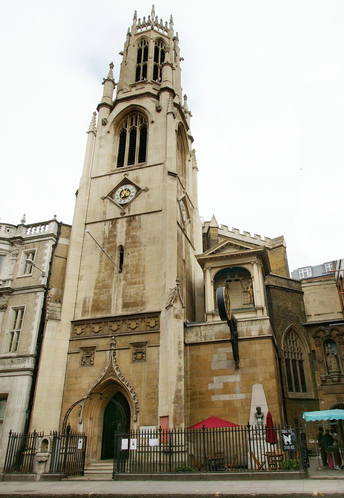
|   Saint Dunstan in the West |   Alan McFaden | Friday 5th of December 2014 12:29:56 PM | 
|   Farringdon Street 2014 |   Alan McFaden | Friday 5th of December 2014 12:28:57 PM | 
 
             
  ![[EAW010073] The area between Fetter Lane, Fleet Street and Shoe Lane, London, 1947](http://britainfromabove.org.uk/sites/all/libraries/aerofilms-images/public/100x100/EAW/010/EAW010073.jpg) 
  
                                          ![[EAW022422] The area to the north of Fleet Street, London, 1949](http://britainfromabove.org.uk/sites/all/libraries/aerofilms-images/public/100x100/EAW/022/EAW022422.jpg) 
 ![[EAW011182] Cleared area around Great New Street following bomb damage and environs, London, 1947](http://britainfromabove.org.uk/sites/all/libraries/aerofilms-images/public/100x100/EAW/011/EAW011182.jpg) 
 ![[EAW000627] The area surrounding Fleet Street and Farringdon Street, London, 1946](http://britainfromabove.org.uk/sites/all/libraries/aerofilms-images/public/100x100/EAW/000/EAW000627.jpg) 
 ![[EAW022423] The area around Fleet Street and Strand, London, 1949](http://britainfromabove.org.uk/sites/all/libraries/aerofilms-images/public/100x100/EAW/022/EAW022423.jpg) 
 ![[EAW039240] A cityscape over Holborn, London, from the south-east, 1951. This image has been produced from a print.](http://britainfromabove.org.uk/sites/all/libraries/aerofilms-images/public/100x100/EAW/039/EAW039240.jpg) 
 ![[EAW022424] The area around Fleet Street, London, 1949](http://britainfromabove.org.uk/sites/all/libraries/aerofilms-images/public/100x100/EAW/022/EAW022424.jpg) 
 ![[EPW055354] A cityscape from the Royal Courts of Justice to the Central Markets, London, from the south-west, 1937](http://britainfromabove.org.uk/sites/all/libraries/aerofilms-images/public/100x100/EPW/055/EPW055354.jpg) 
 ![[EAW011162] The area around King's Bench Walk and the Public Record Office (now King's College London),  London, 1947](http://britainfromabove.org.uk/sites/all/libraries/aerofilms-images/public/100x100/EAW/011/EAW011162.jpg) 
 ![[EAW020405] Fleet Street and environs, London, 1948](http://britainfromabove.org.uk/sites/all/libraries/aerofilms-images/public/100x100/EAW/020/EAW020405.jpg) 
 ![[EAW020409] New Bridge Street, Fleet Street and environs, London, 1948](http://britainfromabove.org.uk/sites/all/libraries/aerofilms-images/public/100x100/EAW/020/EAW020409.jpg) 
 ![[EAW018348] Fleet Street and environs, London, 1948](http://britainfromabove.org.uk/sites/all/libraries/aerofilms-images/public/100x100/EAW/018/EAW018348.jpg) 
 ![[EAW018347] Fleet Street, London, 1948. This image has been produced from a print.](http://britainfromabove.org.uk/sites/all/libraries/aerofilms-images/public/100x100/EAW/018/EAW018347.jpg) 
 ![[EAW000628] Unilever House, Ludgate Circus and the surrounding area, London, 1946](http://britainfromabove.org.uk/sites/all/libraries/aerofilms-images/public/100x100/EAW/000/EAW000628.jpg) 
 ![[EAW020407] The city from St Paul's Cathedral to Bloomsbury, Holborn, 1948](http://britainfromabove.org.uk/sites/all/libraries/aerofilms-images/public/100x100/EAW/020/EAW020407.jpg) 
 ![[EAW022419] The area around Farringdon Street and Fleet Street, London, 1949. This image was marked by Aerofilms Ltd for photo editing.](http://britainfromabove.org.uk/sites/all/libraries/aerofilms-images/public/100x100/EAW/022/EAW022419.jpg) 
 ![[EAW033361] Fleet Street, Chancery Lane and environs, London, 1950](http://britainfromabove.org.uk/sites/all/libraries/aerofilms-images/public/100x100/EAW/033/EAW033361.jpg) 
 ![[EAW022415] The area around Farringdon Street and Fleet Street, London, 1949. This image was marked by Aerofilms Ltd for photo editing.](http://britainfromabove.org.uk/sites/all/libraries/aerofilms-images/public/100x100/EAW/022/EAW022415.jpg) 
 ![[EAW022420] The area around Farringdon Street and Fleet Street, London, 1949. This image was marked by Aerofilms Ltd for photo editing.](http://britainfromabove.org.uk/sites/all/libraries/aerofilms-images/public/100x100/EAW/022/EAW022420.jpg) 
 ![[EAW020410] New Bridge Street, Fleet Street and environs, London, 1948](http://britainfromabove.org.uk/sites/all/libraries/aerofilms-images/public/100x100/EAW/020/EAW020410.jpg) 
 ![[EAW028756] Shoe Lane, Farringdon Street, Holborn Viaduct Station and environs, London, 1950. This image was marked by Aerofilms Ltd for photo editing.](http://britainfromabove.org.uk/sites/all/libraries/aerofilms-images/public/100x100/EAW/028/EAW028756.jpg) 
 ![[EAW022416] Fleet Street, Victoria Embankment and environs, London, 1949. This image has been produced from a print marked by Aerofilms Ltd for photo editing.](http://britainfromabove.org.uk/sites/all/libraries/aerofilms-images/public/100x100/EAW/022/EAW022416.jpg) 
 ![[EPW009015] Fleet Street and environs looking towards St Paul's Cathedral, London, 1923. This image has been produced from a print.](http://britainfromabove.org.uk/sites/all/libraries/aerofilms-images/public/100x100/EPW/009/EPW009015.jpg) 
 ![[EAW020402] Farringdon Street and environs, London, 1948](http://britainfromabove.org.uk/sites/all/libraries/aerofilms-images/public/100x100/EAW/020/EAW020402.jpg) 
 ![[EAW022142] Unilever House, New Bridge Street and environs, London, 1949](http://britainfromabove.org.uk/sites/all/libraries/aerofilms-images/public/100x100/EAW/022/EAW022142.jpg) 
 ![[EAW020408] Farringdon Street and environs, London, 1948](http://britainfromabove.org.uk/sites/all/libraries/aerofilms-images/public/100x100/EAW/020/EAW020408.jpg) 
 ![[EAW022421] The city between Holborn Viaduct Station and the Houses of Parliament, London, from the north-east, 1949. This image was marked by Aerofilms Ltd for photo editing.](http://britainfromabove.org.uk/sites/all/libraries/aerofilms-images/public/100x100/EAW/022/EAW022421.jpg) 
 ![[EAW011181] St Bride's Church and environs, London, 1947](http://britainfromabove.org.uk/sites/all/libraries/aerofilms-images/public/100x100/EAW/011/EAW011181.jpg) 
 ![[EAW022417] The area around St Bride's Church, London, 1949. This image was marked by Aerofilms Ltd for photo editing.](http://britainfromabove.org.uk/sites/all/libraries/aerofilms-images/public/100x100/EAW/022/EAW022417.jpg) 
 ![[EAW022418] The city between Holborn Viaduct Station and the Houses of Parliament, London, from the north-east, 1949. This image was marked by Aerofilms Ltd for photo editing.](http://britainfromabove.org.uk/sites/all/libraries/aerofilms-images/public/100x100/EAW/022/EAW022418.jpg) 
 ![[EAW028758] Farringdon Street and Holborn Viaduct, London, 1950](http://britainfromabove.org.uk/sites/all/libraries/aerofilms-images/public/100x100/EAW/028/EAW028758.jpg) 
 ![[EAW043629] Holborn, High Holborn, Lincoln's Inn Fields and the surrounding city, London, 1952](http://britainfromabove.org.uk/sites/all/libraries/aerofilms-images/public/100x100/EAW/043/EAW043629.jpg) 
 
