
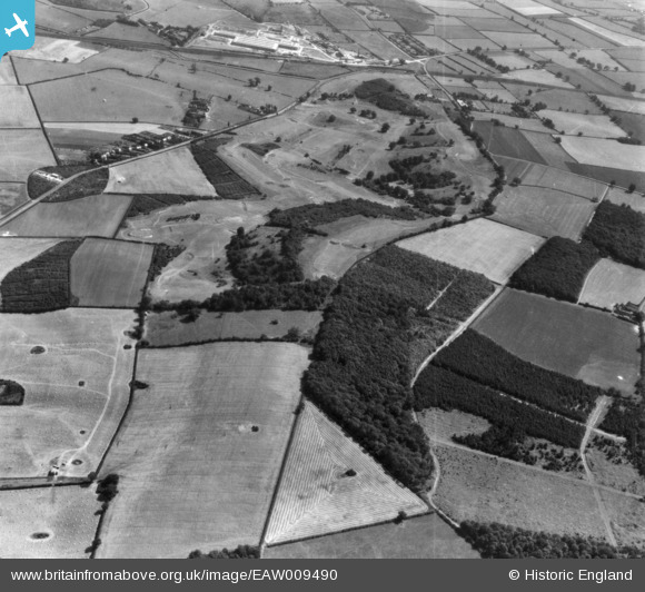
EAW009490 ENGLAND (1947). Rushcliffe Golf Course, Gotham, 1947. This image has been produced from a print.
© Copyright OpenStreetMap contributors and licensed by the OpenStreetMap Foundation. 2026. Cartography is licensed as CC BY-SA.
Nearby Images (2)
EAW009490

EAW009489

Details
| Title | [EAW009490] Rushcliffe Golf Course, Gotham, 1947. This image has been produced from a print. |
| Reference | EAW009490 |
| Date | 19-August-1947 |
| Link | |
| Place name | GOTHAM |
| Parish | GOTHAM |
| District | |
| Country | ENGLAND |
| Easting / Northing | 454016, 328449 |
| Longitude / Latitude | -1.1978005190522, 52.850502041436 |
| National Grid Reference | SK540284 |
Pins
Be the first to add a comment to this image!